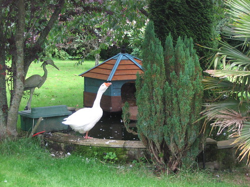
And goose:
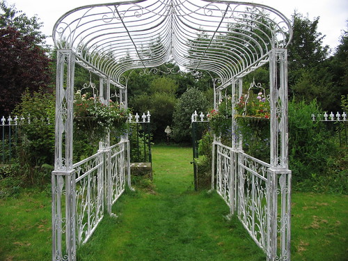
And the rest of the front garden:
My photos of the other side of the house didn’t turn out so well, but Hannah found a swing to amuse herself on, then one of the proprietors of the B&B (it was run by a small family consisting of a son, his girlfriend, and his parents) showed me and Hannah their hens, complete with chicks. They serve their own free-range eggs as part of the &B.
Then we were back in the rental car and heading across the Highlands towards the Isle of Skye.
We followed Loch Ness from Inverness west. We joked about looking for Nessie, the monster, but the only incarnations we saw were the various signs and statues along the Loch as we traveled. I wasn’t really sure what to expect of the Loch itself, but it turned out to be a long, narrow lake, basically.
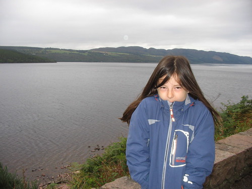
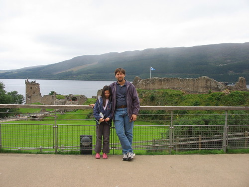
We visited the ruins of Urquhart Castle on Loch Ness. This castle managed to stay standing and in use from the 13th century until the end of the 17th century, when the Grant Highlanders blew part of it up so it couldn’t be used by their enemies. Bummer.
Then we looped back around to find the national park at Glen Affric, “the most beautiful glen in Scotland”. Maybe we are not used to mentally calculating miles instead of kilometers, but we ended up driving probably 7/8 of the way there before deciding we must have passed it and turning around. Then we drove most of the way back to the turn-off at Drumnadrochit before realizing we hadn’t gone far enough. As I said many times on this trip, it’s not a family vacation if we’re not lost.
Part of the problem is that John refused to by a real road map before we left or once we arrived, so we were relying on a map of the entire UK from the rental agency and the maps in some tour guides from the library. Even after the first few times we were lost, it seemed silly (to John) to buy a map we'd only need for a few more days. I say it would have been money well spent, but I don't think I'll leave it in John's hands when the next vacation rolls around.
Once we got there, we tried following the signs to Pony (I think) Falls, but of course we ended up driving in a big circle and coming out on the other side of the forest, 5 miles from where we started. By this time, we were damned sure going to find a place to park our car, eat our lunch, and then find something interesting to see *in the forest*.
We finally did manage to hike a couple of miles (thrilling John) over to Dog Falls, which was more impressive than this photo lets on.
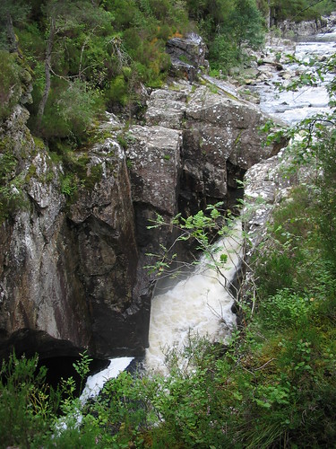
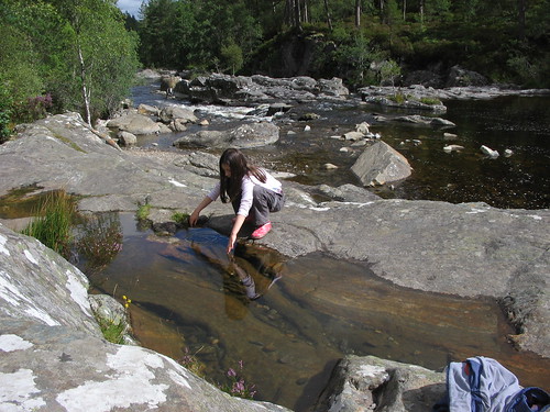
Unfortunately, it was also overrun with midges, so we turned around and hiked back to the car. Hannah got down in the water and played —we were smart enough to pack galoshes.
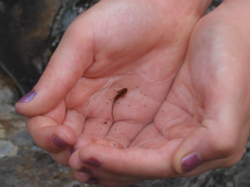
She managed to find a friend in that pool (she put it back after its photo-op).
What with all the driving back and forth, we needed gas. Imagine our surprise when we opened the outer tank cover to find NO CAP. Yes, we were rented a car with no cap for keeping the gas inside the car. I don’t imagine any sloshed out, but it might have evaporated. It did seem that even with the extra faffing about, we went through that first tank kind of fast. Fortunately, the gas station—a very small, old-fashioned kind of service station—had a plastic cap we could buy for about 5 bucks.
From there we drove along Glen Shiel to Eilean Donan Castle, alleged to be the most-photographed castle in Scotland.
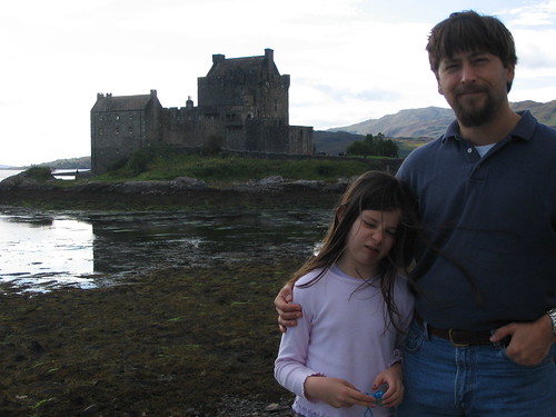
As you can see, Hannah loves to be photographed. We managed to get there early enough to go through the castle. You can take a virtual tour here. (Click on the picture right away, or you’ll be woozy in 5 seconds.) The kitchen was really cool. There were wax (or maybe plaster) dummies set up to look like the kitchen staff, and lots of fake food and stuff. Hannah went around putting her fingers in noses and pretending to pet plastic cats and stuff. She didn’t care for the fake animals (rabbits and chickens) hanging in the pantry, waiting to be plucked and cooked. There were also lots of neat signs to read explaining how things were done back when that kitchen was still in use in 1932.
That was the last bit of mainland Scotland we visited that day. We drove over the bridge from Kyle to Kyleakin, and then we had to drive 2/3 of the length of Skye to get to our B&B in Staffin. We turned onto a dirt lane that we thought led to the B&B (see propensity to get lost, above), but alas, all we found was a couple of kids who informed us we weren’t allowed to turn around in one of the driveways. We would have if they weren’t standing there watching us, but we ended up backing the whole length of the lane, which passed through window-high weeds.
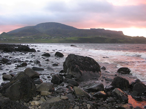
We finally found the B&B, about a block further down, and got our stuff stowed, then we jaunted off for a quick dinner in a teeny cafe. Hannah wanted to check out the “beach” we had seen a sign for, so we turned off the road. Holy mackerel! It was freezing by the water! I didn’t even make it all the way to the shore, just turned around and went to the car. Crazy John and Hannah stayed down for a good 15 or 20 minutes, collecting shells and taking photos. At least John got some good pictures out of it.
No comments:
Post a Comment